Siting a project in Chile: land, rights and degrees of freedom
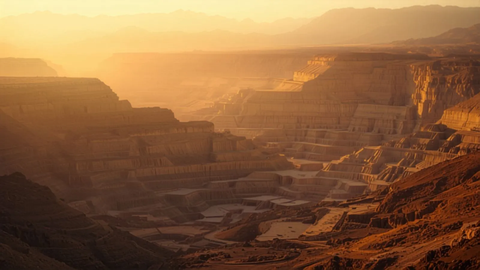
Investors arriving from Europe or North America usually assume that buying the land settles the territory. In Chile it does not. Several layers of rights coexist over the same surface, each created before a different authority, recorded in a different registry, and held by parties who do not know one another.
On this page
Surface ownership is only one of those rights, and rarely the one that drives the schedule. Territorial analysis is therefore neither a preliminary formality nor an annex to due diligence: it is the decision that conditions every other one, and in some types of project the only one still open.
The mining concession is the layer that collides with all the others
It is not a permit. It is a real right over immovable property, granted by a court ruling and independent of ownership of the land. Its holder is not the owner of the surface and does not need to be — the law entitles them to establish an easement over the surface property in order to explore and exploit.
Three articles of the Constitutional Organic Law on Mining Concessions carry this. Concessions are «real rights over immovable property; separate and independent from ownership of the surface property, even where both have the same owner» (art. 2); they are created «by ruling of the ordinary courts of justice» (art. 5); and the holder «is entitled to have the easements suitable for mining exploration and exploitation established» (art. 8).
Three consequences surprise first-time investors in Chile.
First: coverage is vast and says nothing about intent to mine. Very large stretches of the north are covered by concessions where no one will ever develop an operation — created to block a competitor, to speculate, or simply never relinquished. Finding a concession over the site does not mean a mining project is competing for it. It means there is a holder to talk to.
Second: the concession survives a change of surface owner. Buying the land does not extinguish it. Whoever acquires a property with someone else's concession on top of it inherits a negotiation they never started, and the price of that negotiation changes entirely with when it is discovered: before capital is committed, or after the project can no longer move.
Third: the most frequent collision is not with another miner. It is with everything else. With the landowner who wants to lease to a solar project. With the community that occupied the land first. With the State, where the land is fiscal and already granted to a third party. With the protected area that overlaps. The mining concession is the axis around which almost every territorial conflict we see arranges itself.
The other layers
| Layer | Who creates it | Where it is recorded |
|---|---|---|
| Surface ownership | Sale between private parties | Real Estate Registry |
| State-owned land | Ministry of National Assets | Concession contract and cadastre |
| Mining concession, exploration and exploitation | Court ruling | Mining Registry |
| Water use rights | General Water Directorate | Public Water Cadastre and Registry |
| Mining, electrical, aqueduct and transit easements | Agreement or court ruling | Registry |
| Electrical concession | Ministry of Energy | Official Gazette |
| Protected areas and priority sites | Decree | Environmental instruments |
| Indigenous land and Indigenous Development Areas | CONADI | Public Registry of Indigenous Land |
| Territorial planning instruments | Municipality and Regional Government | Communal, intercommunal or regional zoning plan |
| Maritime concession, on the coastal edge | Maritime authority | Register of concessions |
| Archaeological heritage | No one: protection is automatic | There is no prior registry |
The last row is the one that matters, and the legal effect is stronger than usually assumed: archaeological monuments are property of the State by operation of law alone, with no prior declaration identifying them (Law 17.288, art. 21). There is no registry to consult before buying, and anyone who finds remains while excavating is required to report them immediately (art. 26). It is the one layer that cannot be verified with a certificate.
Degrees of freedom change the work
Here is the distinction almost no one makes explicit, and it determines what territorial analysis is for.
| Type of project | Freedom | What actually fixes it |
|---|---|---|
| Mining | None | The deposit. Location is a given, not a decision |
| Power injecting into the SEN | Low | The connection point, not the resource. The sun is everywhere in the north; evacuation capacity is not |
| Power sold to unregulated customers | High | Where the customer is |
| Green hydrogen | Medium | Water and port access, on top of the connection |
| Off-grid power | High | Resource and land. Nothing else |
| Industrial facilities | High | Available power and land |
The most common error is to believe that a power project has freedom of location because the resource is abundant. It does not, if it is going to connect to the SEN: the grid anchors it almost as firmly as geology anchors a mine. The difference is that the mine's anchor is visible from day one, and the grid's appears once the land has been bought. It is the same constraint that explains why, in renewables, the problem stopped being generation and became evacuation.
Three situations escape that constraint: projects selling to unregulated customers, those operating off-grid, and industrial facilities. That is their real advantage, and it is rarely named.
Two ways of analysing the same territory
Something practical follows: the same work serves two different purposes.
When the project cannot move, the analysis is defensive. A mining operation inherits whatever layers it finds. The work is to identify them early, put a value on them and resolve them: negotiate the easement, acquire the right, reach agreement with the community, adjust the design. What is gained is not avoiding the conflict — it is arriving at it with time and with information.
When the project can move, the analysis is selective. An off-grid solar plant, a desalination facility or an industrial installation can compare candidate sites and discard the worst before spending a peso. Here territorial analysis does not resolve conflicts: it chooses which ones you are willing to have. It is, by a wide margin, the point in a project where a decision costs least and is worth most.
State-owned land, which in the north is much of the territory
In the northern macrozone a considerable share of the surface is state-owned, and it is reached by a route of its own: the onerous use concession.
| Maximum term | 50 years |
| Routes | Public or private tender, or direct award in duly justified cases |
| Who may apply | Natural and legal persons, Chilean or foreign |
| Condition for foreign applicants | A Chilean company must be incorporated before signing the contract |
| Payment | Annual rent at commercial value, for the whole term |
That last row moves incorporation to the beginning of the schedule, not the end. It is an administrative detail that delays projects when it is discovered late.
The size of the market, for scale: 236 onerous use concessions in force, 164 in process, and 117 projects in the Antofagasta Region alone. In total, more than 29 GW and US$26 billion of executed and projected investment associated with state-owned land. The Ministry has also announced a tender of 32 polygons and more than 21,000 hectares in the northern macrozone.
What appears on no map
Three things no registry search reveals, and which condition the site all the same.
Archaeological heritage, already noted: property of the State by operation of law alone, with no prior registry, and able to stop the work front.
Communities. They do not appear in the Registry. Their presence, their history of using the territory and their experience with earlier projects are recorded in no certificate, and they are the best predictor of how environmental assessment will go.
The neighbour's environmental commitments. Someone else's Environmental Qualification Resolution can impose conditions over an area that includes the site of interest — a management plan, a traffic restriction, a monitoring commitment. These are found by reading case files, not maps.
When it is done
Before capital is committed. Not because it is tidier, but because it is the only moment at which the result of the analysis can still change the decision.
After the land purchase or the signing of the concession, the same report remains useful, but it no longer serves to choose: it serves to prepare. They are two different pieces of work with the same name, and they cost the same.
Our limit, stated
This analysis is generic and identifies some of the layers of rights bearing on a territory and their implications for a project's schedule. It is not a title study or a current ownership report. Nor does it replace environmental assessment, or anticipate its outcome.
Choosing where to site a project?
Territory is analysed differently depending on whether the project can move or not. A thirty-minute conversation is usually enough to establish which of the two cases you are in.
Start a conversationSources: Law No. 18,097, Constitutional Organic Law on Mining Concessions, arts. 2, 5 and 8; Law No. 17,288 on National Monuments, arts. 21 and 26; Law No. 19,253 on the protection, promotion and development of indigenous peoples; Ministry of National Assets, onerous use concession of state-owned property. Last reviewed: October 2026. General information, not legal advice.